
search
Barcelona metro map zones
Metro map of barcelona with zones. Barcelona metro map zones (Catalonia Spain) to print. Barcelona metro map zones (Catalonia Spain) to download. All the stops of the Barcelona metro network are located in zone 1 of the metro (as its shown in barcelona metro map zones). This means that with a classic metro ticket like with your Hola Bcn or Barcelona Card tourist passes, you can get to any metro station zones in Barcelona. The only exception to the classic ticket is that from the airport you have to take a special ticket that costs 4.60€ to get to the center or back to the airport.
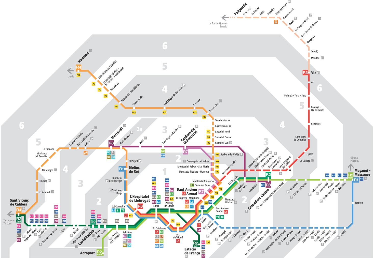
There are 6 transport zones in Barcelona (as its mentioned in barcelona metro map zones). The metro zones are related to the transport distances from the city center. Zone 1 includes the center of Barcelona. The zone numbers increase as you move away from the city center. Zone 6 is in the suburbs of the city. The zoning system works similarly to the zone system used for the London Underground. The zone system is used to calculate fares. Zone 1 is the main zone where tourist attractions are located and represents the largest zone where tourists spend their time.
Barcelona transportation network consists of 6 zones(see barcelona metro map zones). Metro zone 1 includes Barcelona center and almost all the main attractions of the city and the best areas to stay. The chances of you leaving this zone are extremely low. The price of single tickets increases exponentially to €3.40 (zone 2), €4.50 (zone 3), €5.75 (zone 4), €7.35 (zone 5), €8.55 (zone 6).