
search
Barcelona satellite map
Map of barcelona satellite. Barcelona satellite map (Catalonia Spain) to print. Barcelona satellite map (Catalonia Spain) to download. The site of Barcelona as its shown in barcelona satellite map has benefited from a rocky breakwater directly on the sea, Montjuic, and a marsh from which emerges an island, the Taber, on which Barcino, founded in the reign of Augustus in the first century BC, will settle. In the background as its mentioned in barcelona satellite view, the mountain of Collserola culminates at Tibidabo, and beyond it runs the Vallès depression.
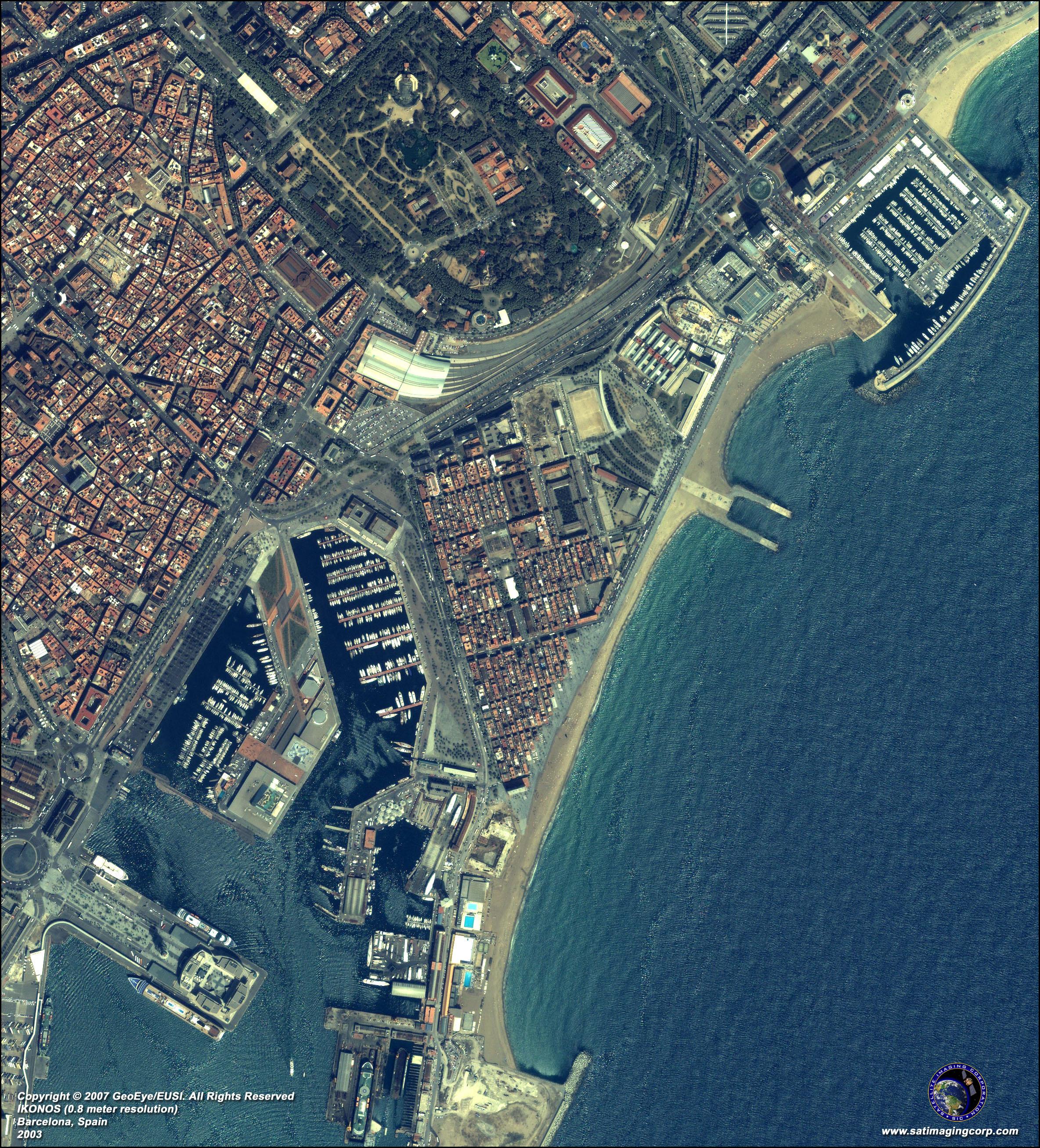
Barcelona faces the Mediterranean Sea, set on a plateau 5 km (3 miles) wide as its shown in barcelona satellite map. The mountain range of Collserola borders Barcelona with the Llobregat river to the southwest and the Besòs river to the north. Small hills dot Barcelona as its mentioned in the satellite image with neighborhoods like Carmel, Putxet, and Rovira. The larger Tibidabo stands over the city with the Torre de Collserola, a telecommunications tower, perched atop it. Montjuic, topped by Montjuic castle, is to the southeast overlooking the harbor.